|
|
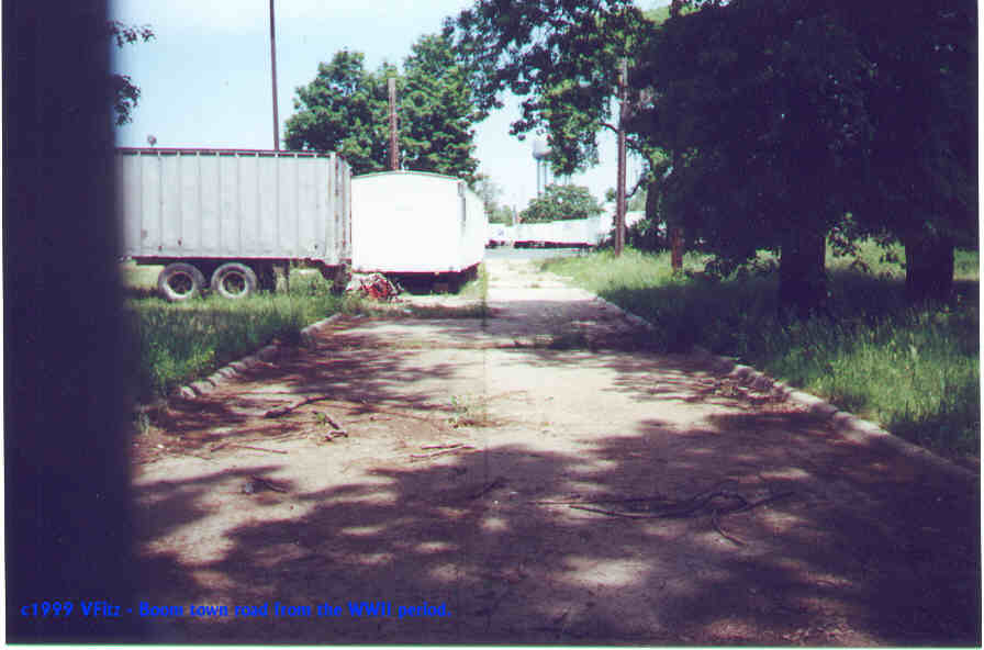
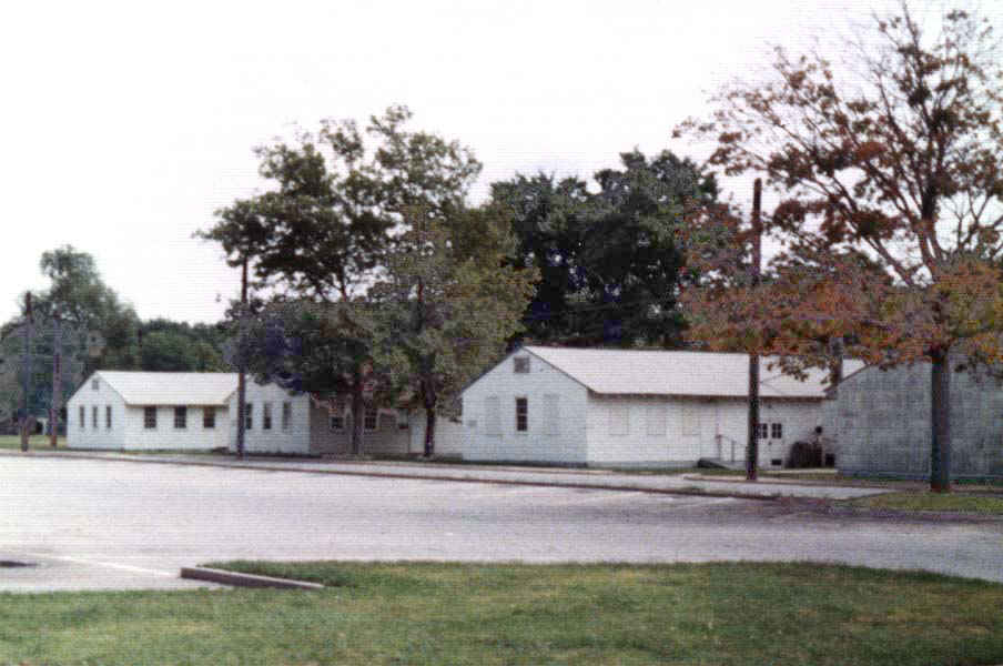
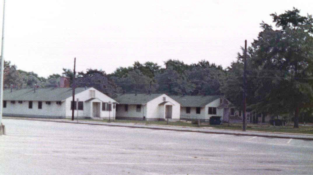
| This area is North of the LIRR Central Line. Mitchel expanded into this area during the W.W.II years. This
is a no longer used road from that period. In the 1960's, after the base closure the white wood frame barracks
in this area were used for class rooms. There are none remaining in this portion of the old base. This section
is occupied by the U.S. Postal Facility. The view above is a current day view.
|
|
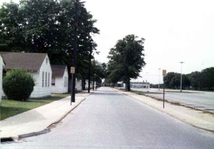
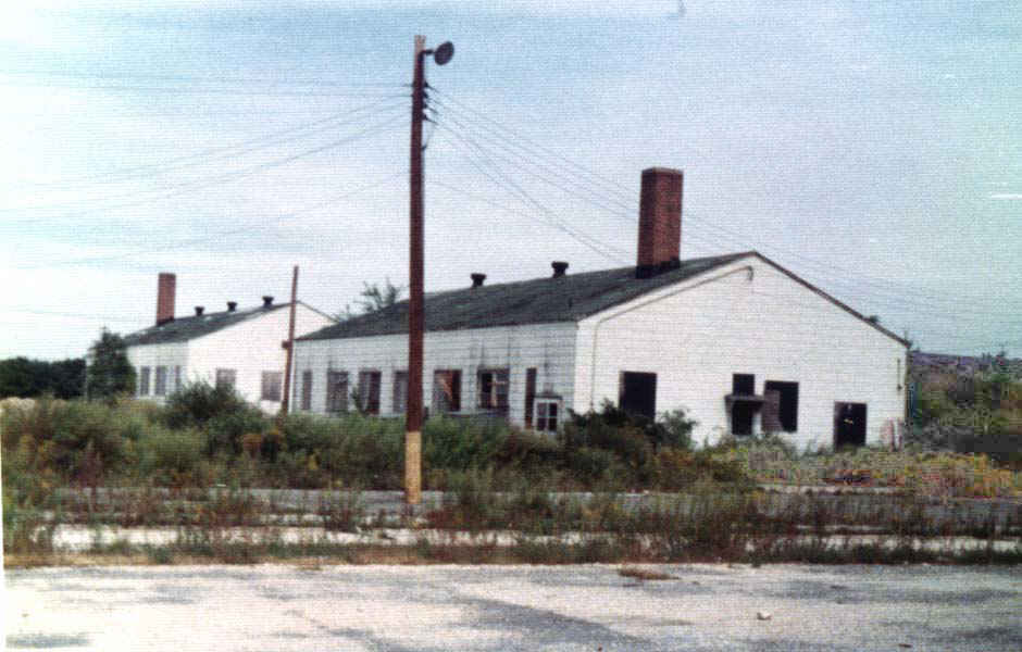
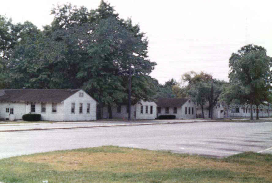
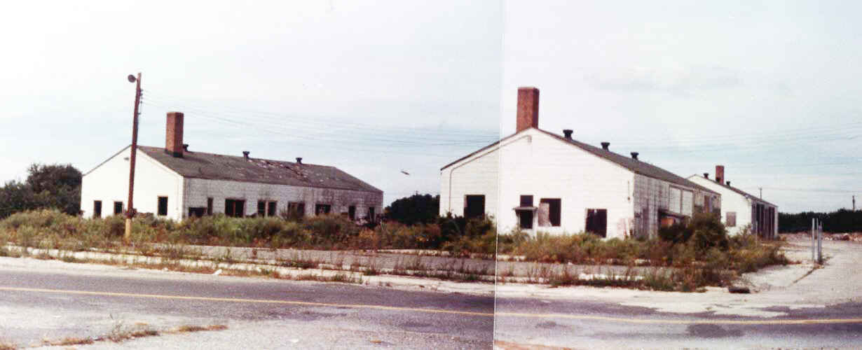
Mitchel Field's Boom Town from the 1970's - courtesy of Paul Martin |
 |
|
Boom Town (above) - looking NorthWest. Circa 1973+ |
|
|
|
Boom Town - looking west. Circa 1973+ |
|
|
|
Boom Town looking NorthEast - circa 1973+ |
|
|
|
Boom Town - looking SouthWest. circa 1973+ |
|
|
|
"Boom Town" looking south.. |
|
|
|
Another "Boom Town" looking southwest. |
| The circa 1973 photos are courtesy of Paul Martin. My thanks to him for his generosity. |
