| This is the southeast perimeter road of the old base. The view is looking South towards the Santini
area. |
 |
| |
|
| This is one of the remaining perimeter lighting poles. There are only a few left.1 |
|
| |
|
| A closer view of the perimeter fencing. While it does not show it in this photo, the fence
was at one time electrified. There are still some ceramic insulators along the fence. The barbwire on the top is
still intact. |
.jpg) |
| |
|
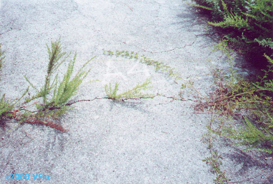
| I believe these markings are for the campground that was here in the late 60's. It says A4 and
points west. |
 |
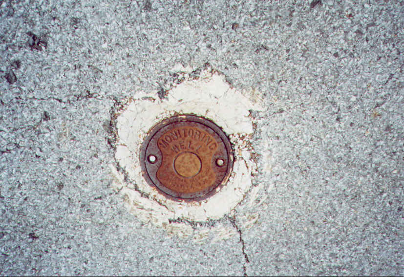
A plate cover from a water quality monitoring well. There was a an ammunition dump in this area
of the base. I believe the remains are capped.
There are a number of monitoring wells on the old base to monitor contaminants. |
 |
| A Ceramic insulator on the south east fence. This indicates that it was once electrified. Most likely
during the World War II period. |
 |
| The perimeter road looking North. |
 |
| |
These photos were taken while the area was open for brush clearing. The area is normally off limits.
1) Jim Fuller - identifiication based on an email description. |